Peatland ACTION - Restoration data
Peatland ACTION - Harnessing the power of restoration data
NatureScot Peatland ACTION is committed to harnessing the power of the data associated with restoration activities to support reporting on, improving, and expanding peatland restoration efforts in Scotland. Our work encompasses data management, technology adoption, monitoring, research collaboration, and the development of tools and platforms to support restoration initiatives.
Here we share useful links to different sources of data collected by the Peatland ACTION programme and research projects we are involved in.
There are five key themes under which NatureScot Peatland ACTION’s data and evidence responsibilities are nested:
Expand the accordions below to find out more.
Output monitoring – Reporting progress
Project verification:
We work across the Peatland ACTION delivery partnership to support accurate data capture on projects. NatureScot Peatland ACTION lead on the verification of hectares for all delivery partners required for hectares reporting to Scottish Government.
Hectares reporting:
We use restoration project spatial data from all delivery partners to report hectares put on the road to recovery to the Scottish Government. This supports the monitoring and reporting requirements of the Climate Change Plan 2018–2032.
UK GHG Inventory:
Spatial data from all delivery partner restoration projects is also used to report associated Greenhouse Gas (GHG) emissions reductions for the UK GHG Inventory.
Cost of peatland restoration in Scotland:
Scotland’s Rural College (SRUC) have led on the creation and regular update of a database of costs related to NatureScot Peatland ACTION restoration taken from the grant funding application datasets. This database of costs has been published on SEFARI.
Supporting delivery
Training:
In the drive to upscale peatland restoration efforts we provide data capture focused training to all sectors of the industry including project officers, students, designers and contractors to maximise efficiency and quality of any data required for project planning or reporting.
Technical support and adoption:
NatureScot Peatland ACTION are developing tools and templates as well as actively testing technology that can support on the ground work. This includes exploring the use of UAV surveys to improve spatial data capture and monitoring capabilities.
Strategic planning and research
Strategic Research Programme, CentrePeat:
As a key stakeholder we support the work of the strategic research programme CentrePeat. Outcome and Output monitoring data has supported several work packages whilst our expertise in restoration in Scotland of invaluable for the development of tools and datasets.
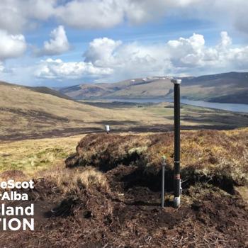
SCO2FLUX:
As part of our monitoring strategy ambitions to help fill wider benefits evidence gaps, we support the installation and maintenance of greenhouse gas flux monitoring towers at a number of key locations. All flux towers are intended to be part of, or affiliated with, the SCO2FLUX network.
Sharing and publishing data
Data portal:
The Peatland ACTION spatial data portal is an online viewer about peatland restoration projects. This tool allows users to view and interact with spatial data related to peatland restoration efforts in Scotland. The portal typically provides users with access to a variety of data layers, such as completed peatland projects from 2013 onwards and peat depth and condition surveys. Users can zoom in and out of the map, pan to different locations, and select different data layers to explore. The portal also includes tools to download datasets, querying data, and creating custom maps. Overall, it helps support peatland restoration efforts by providing access to valuable spatial data and analysis tools.
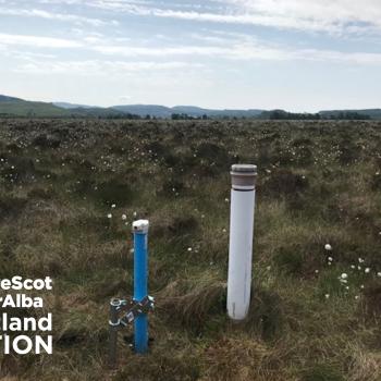
Hydrology and vegetation data:
Vegetation survey results undertaken in 2015 and 2021 with the results published in a series of commissioned reports: Vegetation monitoring undertaken in 2015 and repeat vegetation surveys undertaken in 2021
Hydrological monitoring at 35 sites is ongoing with data published through an online hydrological monitoring app.
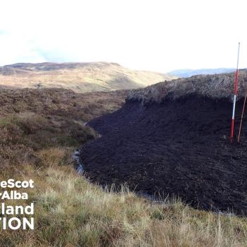
Peat depth and condition data:
We record data on peat depth and condition surveys from all Peatland ACTION projects. In 2023, we reached a significant milestone where over 100,000 peat depth points were recorded. View the depth and condition of peat at thousands of locations across Scotland in interactive map on the Scotland's Soils website.
Outcome Monitoring
Monitoring strategy:
Our monitoring strategy is a high-level strategic approach to our monitoring with an overall aim and three main objectives. These are the guiding principles for all our restoration monitoring including NatureScot Peatland ACTION led monitoring projects, partnership projects and funding of external projects.
Restoration Monitoring Network (RMN):
The RMN is one part of our wider monitoring strategy. It is an approach to data collection and analysis that will enable cost-effective, repeatable, long-term monitoring on a representative sample of Peatland ACTION sites.
Supporting innovation and development of monitoring tools:
NatureScot Peatland ACTION support innovative research and development this has included:
- the Forth Environmental Resilience Array (Forth-ERA),
- InSAR surface motion monitoring ‘bog breathing’ project and the
- Internet of Things hydrological monitoring pilot at Loch Orasaigh.
Supporting applications for monitoring:
We support eligible applicants to undertake their own outcome monitoring projects which can be associated with a single restoration project or encompass a regional approach. Examples include support for the RSPB’s peatland restoration monitoring at Forsinard Flows nature reserve and the Galloway Fisheries Trust to investigate the impact of restoration on water quality in South West Scotland.
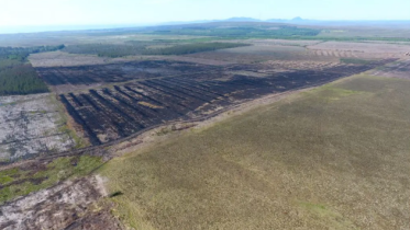
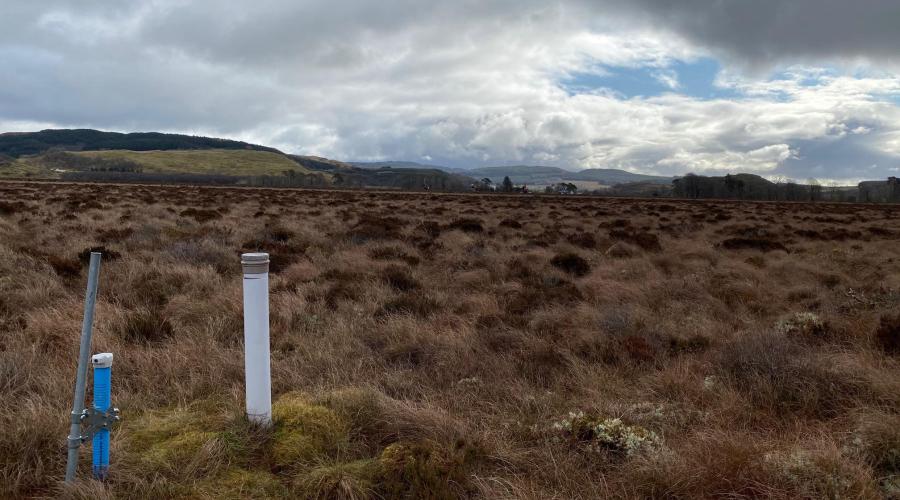
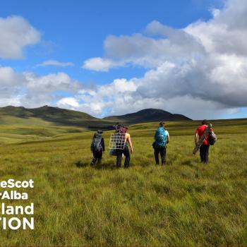
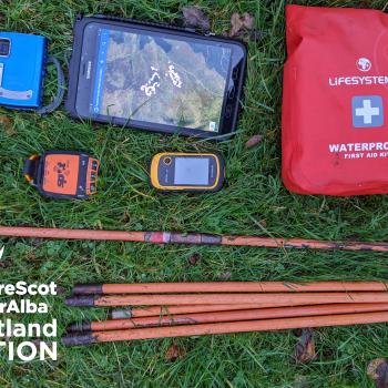
Sequence of images showing a equipment used to survey or monitor Peatland ACTION restoration projects.


Last updated: