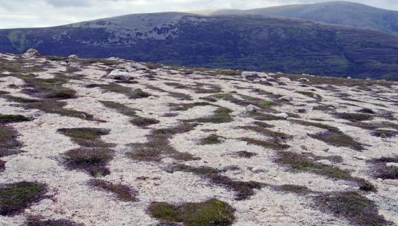
Meltwater channels and deposits
Scotland’s melting glaciers fed powerful meltwater rivers, which left channels and distinctive landforms in our landscapes.
Meltwater rivers often followed the course of existing river systems. But in many cases the ice caused the water to be redirected.
Many meltwater channels are now dry or contain streams much smaller than the valleys in which they flow.
Good examples of meltwater channels occur:
- along the southern margins of the Pentland Hills – e.g. at Carlops
- on the northern flanks of the Cairngorms
- around Dinnet on Deeside
Lakes of icy meltwater
In places, meltwater spilled into valleys dammed by ice to form lakes, which drained from time to time under the ice in great floods. Glen Roy is a stunning example of such a lake – its ice-dammed shorelines are still visible as the well-known ‘Parallel Roads’.
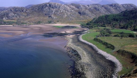
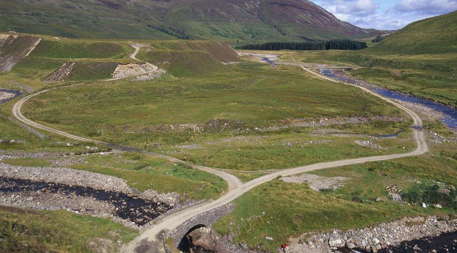
Distinctive landforms
Sand and gravel deposits from meltwater rivers often formed distinctive landforms such as:
- ‘kame’ terraces – deposited along the flanks of the glaciers, e.g. between Loch Ness and Inverness
- ‘eskers’ (sinuous ridges) – formed beneath the ice, usually in tunnels, e.g. at Carstairs
- ‘outwash’ plains and lake deltas – laid down beyond the ice margin, e.g. at Achnasheen
Such deposits cover vast areas of the glens and lowlands in the east and south of Scotland. This highlights the contrasts between landscapes shaped mainly by glacial erosion in the west and by glacial deposition in the east.
Find out more
Last updated: