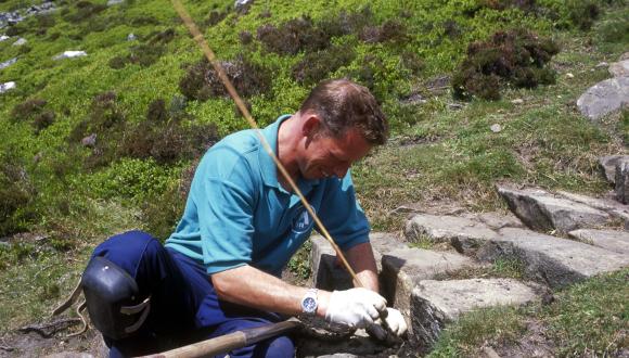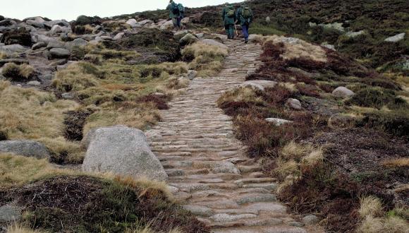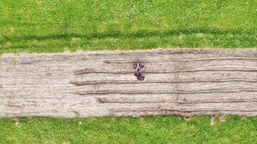
Local path networks
Using paths close to home for everyday errands can help us to live happier, healthier, greener and more active lives.
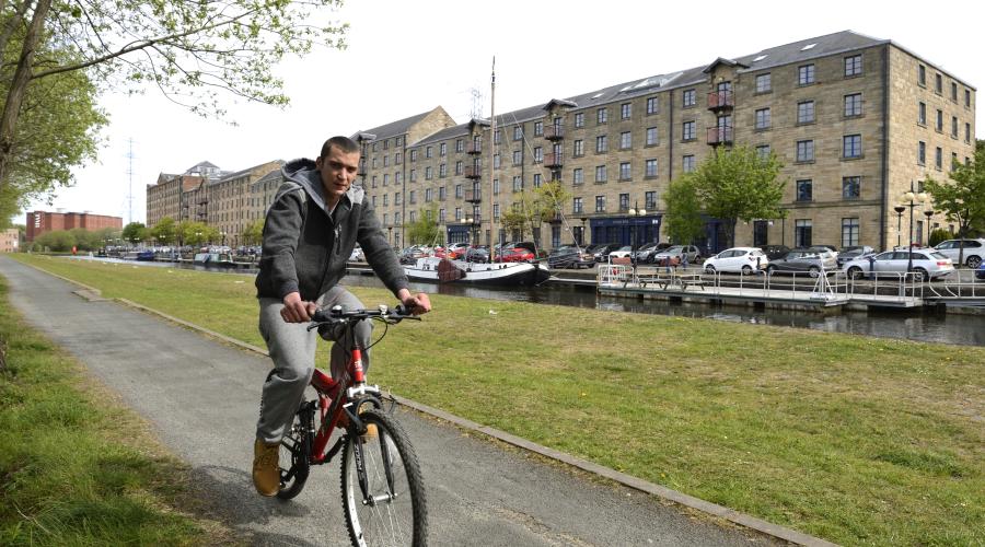
Walk, run, horse-ride or cycle - your local path network is ideal for regular errands and outings close to home. Local paths can take you to and from work or school, get you to your favourite activities and connect you with your friends – and all for free. At the same time, you’ll enjoy the benefits of spending time outdoors, including fresh air and exercise.
You could even join a Health Walk in your area, as a sociable and fun way to be more active.
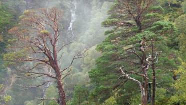
The main local routes for recreation and travel, known as core paths, are usually signposted. Not all are on land, and they include some rivers or canals that are used for canoeing.
Map of core paths in Scotland
Core Paths in Scotland
Click for a full description
Paths shown as blue lines, provided by SpatialHub, copyright: One Scotland Mapping Agreement (OSMA)) Background map: OpenStreetMap.org
This map combines the core path plans that have been drawn up by all of Scotland's local authorities and National Park authorities. If needed, you can view core path maps in your area:
- Aberdeen City
- Aberdeenshire
- Angus
- Argyll and Bute
- Clackmannanshire
- Dundee City
- Dumfries and Galloway
- East Ayrshire
- East Dunbartonshire
- East Lothian
- East Renfrewshire
- Edinburgh
- Falkirk
- Fife
- Glasgow
- Highlands
- Inverclyde
- Midlothian
- Moray
- North Ayrshire
- North Lanarkshire
- Orkney
- Outer Hebrides
- Perth and Kinross
- Renfrewshire
- Scottish Borders
- Shetland
- South Ayrshire
- South Lanarkshire
- Stirling
- West Dunbartonshire
- West Lothian
National Park core path maps:
Last updated: