Peatland ACTION - RSPB Forsinard water table depth and vegetation data
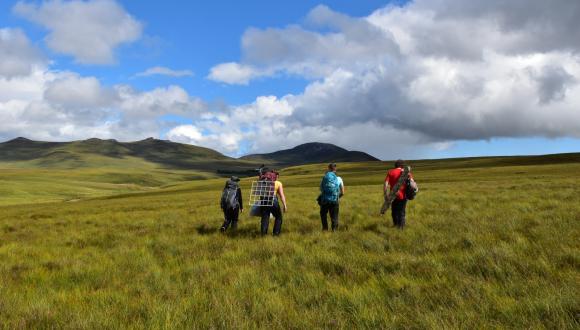
Peatland ACTION in collaboration with RSPB funded water table loggers and associated vegetation surveys at Forsinard Flows Nature Reserve from 2013 to 2022 as part of multi-year forest to bog restoration at the site.
Between 1994 and 2007 more than 1600ha of former forestry plantations of non-native conifers, were felled and collector drains blocked. The trees were left in-situ, as they were too small to be harvested. Since 2012, more than 1300ha of these older restoration sites have received additional treatments to speed restoration progress.
Data was collected in three phases:
Phase 1 measures the rate of recovery of hydrology, at forest to bog restoration plots that are either (i) enhanced blocking (i.e. furrow blocking) ; or (ii) standard blocking, in relation to conditions at comparable open bog control plots.
Phase 2 measures the rate of recovery of hydrology and vegetation in 8 plot groups, consisting of restoration plots that are either (i) enhanced blocking; or had (ii) enhanced blocking with reprofiling, in relation to conditions at comparable open bog control plots.
Phase 3 measures the rate of recovery of hydrology, vegetation, at forest to bog restoration plots on steep slopes that are either (i) reprofiled with no dams; or (ii) standard blocking, in relation to conditions at comparable open bog control plots. The first 5 of a set of 8 plot groups of “Phase 3” of the monitoring scheme was set up in the winter of 2020-21
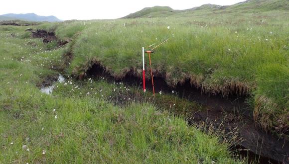
The water table data has been corrected (calibrated) and raw data in xlsx format can be downloaded from the links below. Data is available for 9 water table loggers. Vegetation data from plots in the same area is available from 2018-2019 and 2020.
Document downloads
Last updated: