Greenspace Map for Outdoor Learning
Find a greenspace for outdoor learning
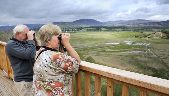
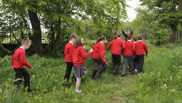
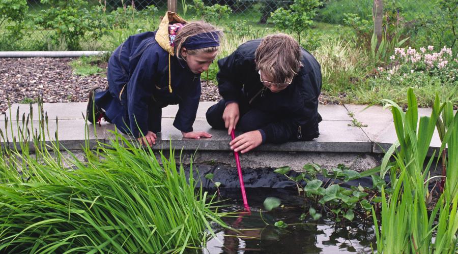
Looking to get your class out into the fresh air for a spot of outdoor learning? The Greenspace Map for Outdoor Learning below allows teachers, educators and others to quickly identify greenspaces close to their education establishment that may provide outdoor learning potential.
Important notes
The map is an excellent starting point – you might find the 5-minute walk indication particularly useful – but you need to be aware of some aspects:
- just because a greenspace is shown on the interactive map, you cannot assume that it is suitable or publically accessible
- before using a site for outdoor learning ask permission from the landowner, where applicable.
- some types of greenspace, such as transport spaces, are obviously not physically accessible.
More details on how to find, access and use a local greenspace for outdoor learning can be found in our handy resource for educators – Beyond your boundary: easy steps to learning in local greenspace
How to use the map
Search function
This will allow you to navigate to your education establishment. Type in the name of the school in the box at the top left of the map. As you start to type suggestions will pop up. The map will take you straight to your chosen place of interest. There are also zoom tools.
Schools and proximity to greenspaces
We have included primary, secondary and additional support needs (ASN) schools. We have shown the access points for the school grounds to help you work out the quickest route to your greenspaces of interest. You can switch on a notional five-minute walk from your school building to give you an idea of how close the greenspace is.
Greenspace
The map includes types of greenspace that may provide some opportunity for outdoor learning. The types include natural sites, public parks, amenity spaces, play spaces, allotments, land that is changing its use (these can provide good temporary spaces for schools to use), institutional grounds, playing fields, golf courses and cemeteries.
The greenspaces have been broadly categorised according to the likelihood of its value to outdoor learning. Some groupings are quite broad. For example, transport sites are included with residential and business amenity. Obviously they’re not suitable for outdoor learning, but it’s easy to see from the map what the greenspace consists of. To find out the type of greenspace you are looking at, click on the greenspace and a pop-up box will tell you.
Backdrop
You have the option of using either the default aerial imagery or another type of backdrop. The default backdrop will give you a better feel for what the greenspace may contain (e.g. trees, grass, water, paths etc), and therefore how useful it might be for outdoor learning. To change the backdrop click on the Basemap Gallery at the top right of the map (the icon containing four squares).


Last updated: