Nature Discovery Map Scotland
Making the outdoors your classroom
An exciting new toolkit for schools that supports Learning for Sustainability
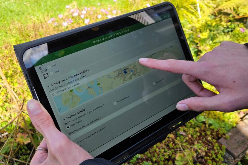
The Nature Discovery Map Scotland (NDMS) toolkit is a suite of six map-based tools that have been developed by NatureScot on behalf of Scottish Government and in collaboration with teachers and pupils to help support Learning for Sustainability (LfS).
The toolkit allows you to:
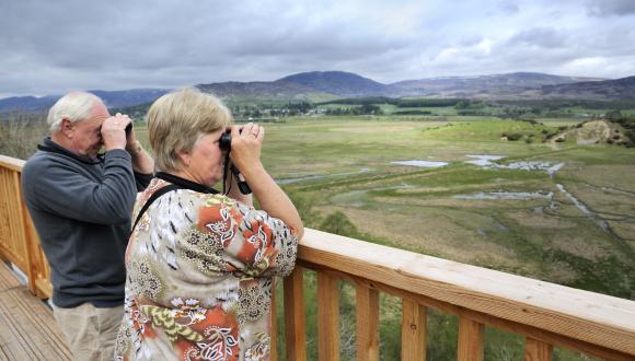
- LOOK at your school grounds with fresh eyes and capture a visual record.
- DISCOVER and audit what nature you have in your school grounds and upload these to the national map.
- PLAN what improvements you want to make to your school grounds.
- ACT to make these improvements a reality, empowering young people to make a difference.
- LOOK AGAIN to track change in your school grounds over time.
The process will take your pupils and school on a journey of discovery that should result in positive change for your school grounds.

'Journey of discovery' cycle diagram showing LOOK, DISCOVER, PLAN, ACT.
This versatile toolkit can be used in many ways and on many levels. It can also:
- Support awards and other established school initiatives such as Eco-schools and Climate Ready School Grounds.
- Empower your school to make nature and climate-positive changes to your school grounds and beyond.
- Generally support outdoor learning and LfS across the Curriculum.
What will young people get from using the toolkit?
- Practical and knowledge-based skills through biodiversity and climate action.
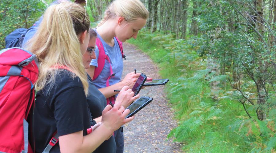
- Digital skills and STEM learning through geospatial mapping.
- Real world and outdoor learning opportunities.
Where has this idea come from?
The development of the toolkit has been supported by the Scottish Government. It is one of the actions in the Learning for Sustainability Action Plan proposed on curriculum, culture, community and campus that can help transform your school into a Sustainable Learning Setting by 2030.
The idea for the toolkit originally arose from the UK Nature Park commitment made at COP 26, held in Glasgow in 2021, to develop a resource for students to record, learn about, and help enhance the contribution of school grounds to biodiversity and climate change adaptation.
Working with a number of primary, secondary and ASN teachers and pupils, we ran a pilot project to develop the Nature Park concept in Scotland, in autumn 2022 to spring 2023. Drawing on the pilot work, a finalised toolkit has now been developed for roll-out as a national resource for all schools.
This exciting resource helps pupils to explore biodiversity in and around education settings and consider how positive change could be made for nature. It helps to build the skills of our future leaders and innovators as well as helping them to be a part of improving their local environment, an important step in reducing eco-anxiety and increasing young people’s connection with nature.
Want to find out more?
The Nature Discovery Map Scotland soft launched on 21 November 2024 and is gradually being rolled out across Scotland. Currently six local authorities have full access to the toolkit:
- Argyll & Bute
- Dumfries & Galloway
- Falkirk
- Highland
- Inverclyde
- Orkney
Teachers from these local authorities are invited to register to get full access to the toolkit. Currently we can only register one teacher per school.
If your local authority is not listed above, you can still use some of the apps but will not be able to add data to the map. As with other digital resources, it is possible your local authority may need to undertake a Data Protection Impact Assessment (DPIA) before allowing their schools access to the full toolkit. If you are interested in using the toolkit please discuss this with your local authority LfS and/or digital literacy lead and ask them to get in touch with us at [email protected] to discuss how to get your local authority involved.
Last updated: