Biodiversity - where to find data
Find out why it is so important to record and survey biodiversity and discover where you can find biodiversity data.
Why record biodiversity data?
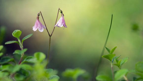
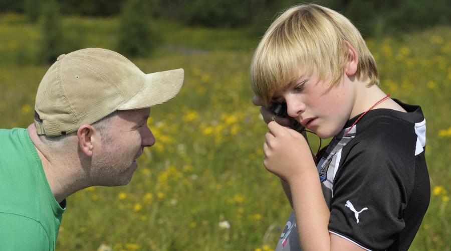
Surveying and recording biodiversity can provide valuable information about habitats, plants, animals and natural processes in an area.
Information such as the presence (or absence) of species and habitats, the condition of habitats, the size of populations and the type of management in place is useful when planning projects that include or may affect biodiversity.
By recording this information, you can establish a baseline against which the progress and success of a plan or project can be monitored. Recording this data also provides information on your local area to help, for example:
- Inform both land management and wildlife management.
- Take into account sensitive times of year for wildlife, and ensure that any surveys required are done at the right times and that planned actions do not disturb species at sensitive times in their lifecycles.
- Promote sites where visitors can observe species or habitats of interest.
- Inform the detail of your planning applications.
- Identify protected areas and protected species and ensure that they are not adversely affected by planned actions.
- Determine if a survey of protected species or invasive species is needed to support a planning application. Some species are protected, so a licence may be needed if such species are likely to be disturbed (even temporarily) by the works being undertaken.
Where can I find biodiversity data and information?
Throughout Scotland and the UK, there are many resources that collate and manage biodiversity data and information.
National resources
- National Biodiversity Network
- Biological Records Centre
- Butterfly Conservation
- British Dragonfly Society
- National Amphibian and Reptile Recording Scheme
- Bat Conservation Trust
Local resources
A variety of local biological records centres exist around Scotland. Those with their own websites are listed below:
East Scotland:
East and Central Scotland:
- The Wildlife Information Centre (cover; Lothians, Scottish Borders, Falkirk, Stirling, Clackmannanshire, Loch Lomond and Trossachs National Park)
- Fife Nature Records Centre
West Scotland:
- Glasgow Museum Biological Records Centre (including East and West Dunbartonshire)
- South West Scotland Environmental Information Centre
Highlands and Islands:
- Highland Biological Recording Group
- Orkney Biodiversity Records Centre
- Islay Natural History Trust
- Shetland Biological Records Centre
- Outer Hebrides Biological Recording Project
ALERC - Find an LERC map - type in a location name or grid reference and the appropriate LERC contact will appear:
Last updated: