Habitat Data (and the Habitat Map of Scotland)
NatureScot, with help from its partners, is coordinating the development of the Habitat Map of Scotland (HabMoS).
The Habitat Map of Scotland
The Habitat Map of Scotland (HabMoS) is a composite dataset comprising different layers of detailed habitat data.
All habitat data has been given a common Habitat Coding from EUNIS, the European Nature Information System as well as an Annex I code from the Habitats Directive, where appropriate.
EUNIS allows us to map habitats and land use. To find out more about EUNIS in Scotland, read our 2017 report: Manual of terrestrial EUNIS habitats in Scotland: NatureScot Commissioned Report No. 766
The layers comprising HabMoS (and translated to EUNIS/Annex I) are:
NVC site data
This a layer consisting of over 700 NVC surveys largely covering Designated Sites.
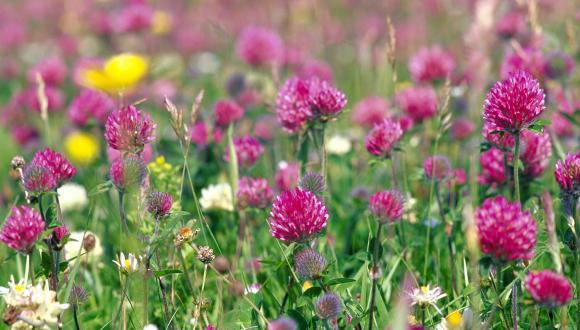
The Saltmarsh Survey of Scotland
A national NVC survey comprising 5,840 hectares mapped in NVC 249 locations [translated to EUNIS/Annex I] Saltmarsh survey
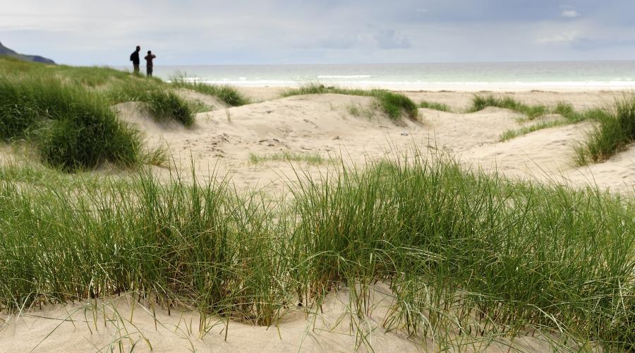
The Sand Dune Survey of Scotland
A national NVC survey of all dunes in Scotland between 1994 and 2000.
Sand dune vegetation survey (link temporarily not available)
Coastal Vegetated Shingle Survey of Scotland
This national survey identified 1100ha of this habitat around Scotland.
Native Woodland Survey of Scotland
Forestry Commission Scotland (FCS) carried out the Native Woodland Survey of Scotland between 2006 and 2013. This is a huge and valuable input to the Habitat Map of Scotland.
We’ve already worked with FCS to extract data to enable us to map four Annex I woodland habitats. We continue to use the data to map other native woodlands.
Freshwater
The Standing Waters Database contains aquatic plant and other data as locations. As part of the Habitat Map of Scotland, we have linked this point data to loch polygons. Working with habitat specialists, we have used the database information to map five Annex I habitats and 10 EUNIS classes.
Other Habitat Datasets
In addition we have the following stand alone datasets (not yet integrated to HabMoS):
Mountain Woodland dataset
We have just released a dataset which updates the original Montane Scrub database (OMSD) adding new records from the BSBI and other organisations such as Trees for Life, National Trust for Scotland and Corrour Estate.
The output is a database of 18,538 point records featuring 24 taxa. The records have been assigned a group so the points can be explored by group or by individual taxa
Where do I find the Data?
Download the Habitat Map of Scotland dataset from our Open Data Hub, or view the data on Map view on Scotland’s Environment website.
Some of the layers integrated into HabMoS are also available in their original forms on The Open Data Hub
- NVC Habitat Polygons
- Sand Dune Vegetation Survey of Scotland
- Saltmarsh Survey of Scotland
- Coastal Vegetated Shingle polygons
- Coastal Vegetated Shingle transects
- Standing Waters Database
The degree of coverage for a habitat or area will vary as HabMoS brings together different datasets.
Last updated: