Marine planning in Scotland
Guiding how and where development activities happen in the marine and coastal environment.
NatureScot welcomed the introduction of a marine planning system as one of the most crucial elements of the Marine (Scotland) Act 2010.
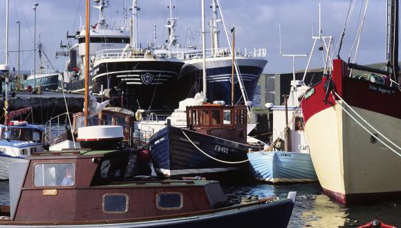
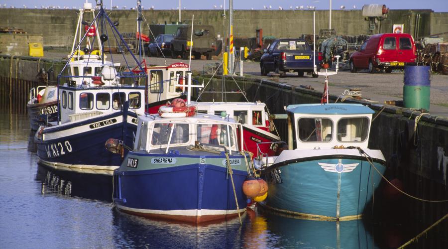
Marine Planning is a relatively new way of managing the activities which happen in and on our coasts and seas. Scotland has had a planning system on land since the middle of the 20th century. But until the Marine (Scotland) Act 2010, and the National Marine Plan, there was no equivalent to plan for use of the marine environment. This meant that, until recently, different marine sectors have developed in isolation from one another and there’s been no way to plan ahead and coordinate activities in our increasingly busy seas.
Some matters for marine planning are not devolved to Scottish Ministers – such as licensing for oil and gas, maritime safety or telecommunications - coordination with the UK Government is guided by the Marine and Coastal Access (UK) Act 2009.
A multi-tier marine planning system
National
The Marine (Scotland) Act 2010 required the creation of Scotland’s National Marine Plan (NMP). This provides a framework for managing all developments, activities and interests in or affecting Scotland’s marine area (territorial and offshore waters). Adopted in March 2015, the NMP sets out high-level objectives, general policies and sectoral policies. These policies are taken into account in decision-making relating to marine licences, and other types of consent.
Following two reviews (in 2018 and 2021), Scottish Ministers have agreed to update the NMP. Some key reasons to update include the need to have more of a focus in marine planning on addressing the twin crises of climate change and biodiversity loss. Scottish Government’s Marine Directorate are leading the process for the development of NMP2, starting in 2023 and taking several years. We have a role in this process as an advisor on aspects related to nature conservation, as a steering group member and as a consultee on assessments which are part of the Plan development process.
Regional
Regional Marine Plans can also be prepared for the 11 Scottish Marine Regions covering Scottish territorial waters. Statutory regional Marine Planning Partnerships (MPPs) will develop the Regional Marine Plans in conformity with the NMP, providing more locally relevant policy context and detail.
Once Regional Marine Plans are adopted by Scottish Ministers, decisions made by public bodies – such as granting marine licences or planning permission – must take these plans into account.
Shetland and Clyde were the first regions to set up MPPs and be granted authority to create Regional Marine Plans in 2016 and 2017 respectively. Orkney followed these, with authority being granted in 2020. NatureScot sits on the Advisory groups of both the Shetland Islands and Orkney Islands Marine Planning Partnerships and is a member of the Clyde Marine Planning Partnership.
Find out about the:
- Shetland Islands Marine Planning Partnership
- Clyde Marine Planning Partnership
- Orkney Islands Marine Planning Partnership
Sectoral
In 2020, a Scottish sectoral plan for offshore wind energy developments was published to better guide this growing sector. This has now become an iterative process connected to the procedures by which the seabed is leased for this type of activity. Sectoral marine plans sit under the umbrella of the NMP. More on our engagement with this process, and our role in offshore wind energy developments can be found here.
NatureScot aspirations for marine planning
We’re keen that marine planning will:
- guide the location of all marine uses and activities, ensuring that they occur in the most suitable and least environmentally sensitive areas;
- apply clear sustainable development principles for positive long-term outcomes within environmental limits;
- minimise conflicts of interest and promote compatible uses;
- help to halt biodiversity loss, enable nature restoration, and accelerate progress to a socially-just net zero future;
- safeguard important natural and cultural heritage features, like priority marine features, and complement the role of Marine Protected Areas;
- utilise a natural capital approach, to improve decision-making by better recognising the diverse ecosystem services and benefits people get from nature;
- integrate well with other governance mechanisms for the marine area (e.g. fisheries management); and
- plan and manage well across the land-sea interface, working with terrestrial planning and land-use strategies.
Our role in marine planning
NatureScot will have an important role in plan preparation, implementation and monitoring of marine planning at all scales.
In particular, we will:
- advise on the Strategic Environmental Assessment and Habitats Regulations Appraisal of marine plans;
- provide information on the importance, distribution, condition and sensitivity of marine habitats and species;
- help to determine marine natural heritage priorities – e.g. biodiversity, geology, landscape and recreation;
- advise on the management of Marine Protected Areas and other sensitive sites within the plan area; and
- support coordination between the land and marine planning systems
Our opportunities to engage with communities and key stakeholders includes through local coastal partnerships and Scottish Regional Inshore Fisheries Groups. Our engagement with these groups will be closely linked to our input to marine plans.
Find out more
- Habitats Regulations Appraisal (HRA) on the Moray Firth - A Guide for developers and regulators
- Scottish Government pages on Marine Planning
- National Marine Plan
- National Marine Plan interactive
- Marine Scotland Information
- Marine renewables: Our Approach
- Aquaculture
- Planning and development: coastal change
- MSPglobal – An initiative of UNSECO’s Intergovernmental Oceanographic Commission
- Marine Alliance for Science and Technology Scotland – Marine Planning and Governance Forum
Last updated: