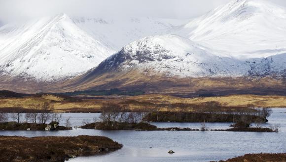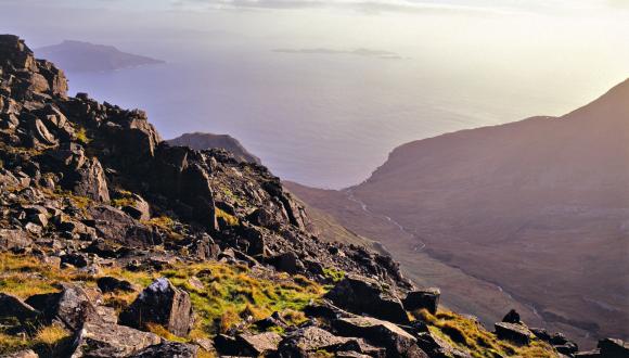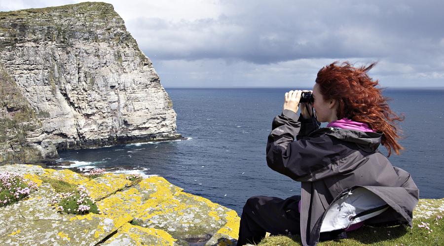
Landscape variety in Scotland
Scotland has a great variety of landscapes for its size, as illustrated by the Landscapes of Scotland map.
The Landscapes of Scotland map unites the physical fabric of our towns, countryside, hills, glens and coasts with the human and cultural aspects of place and history. It has been designed to highlight the variety that occurs in Scotland's landscapes, and to make communication about landscape issues easier.
Map and Descriptions
Landscapes of Scotland - descriptions
The map divides Scotland into 79 areas, each of which has a unique description:
- 1–10 – Shetland and Fair Isle to Harris
- 11-20 - Wester Ross to Monadhliaths
- 21-30 - Speyside to Deeside and Donside
- 31-40 - Aberdeen and Lower Deeside to Angus Glens
- 41-50 - Strathmore and Mearns to Firth of Tay
- 51-60 - Islay and Colonsay to Lothian and Borders Coast
- 61-70 - Kintyre to Ettrick and Moffat Hills
- 71-79 - Lower Tweedale to Cheviots
These descriptions present a national picture of Scotland’s distinct landscapes that serves to:
- increase awareness of the diversity of Scotland’s landscapes, its regional distinctiveness and the importance of place
- enable easier communication about landscape – e.g. by providing a gateway to other information sources
- enable greater involvement in landscape issues
- provide a framework for monitoring some types of landscape change
- provide a Scottish equivalent of landscape mapping of other countries
The map adds to, and does not replace, the more specialist landscape analysis provided by Landscape Character Assessment and Historic Land-use Assessment – data available on the HLA map website.
NatureScot developed the Landscapes of Scotland map with input from Historic Environment Scotland and others. Read about Developing the Landscapes of Scotland map: Background and Summary Method Statement.
You can also view our account of Scotland’s landscapes and how they’ve changed over time: Natural Heritage Zones: A National Assessment of Scotland's Landscapes.
Contacts
Get in touch if you have questions.
Landscape Group
Last updated: