Landforms
More than just our Ice Age landforms, Scotland’s landforms include our coasts, rivers, caves, karst and landslides.
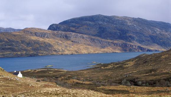
During the Ice Age, glaciers carved Scotland’s landscapes and deposited debris. Meltwater rivers left channels and distinctive landforms, and ‘periglacial’ features formed beyond the ice.
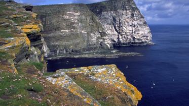
Scotland’s landscapes continued to take shape after the glaciers had melted, with changes in sea level having the biggest impact. In particular, our varied coastline reflects contrasts in rock types, the actions of glaciers and sea-level changes.
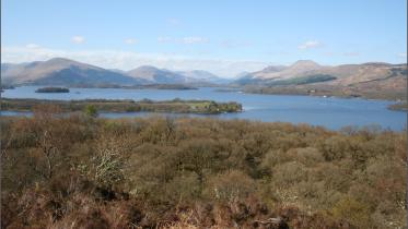
Our river types range from fast and furious steeply flowing burns to wide meandering rivers. Scotland’s geological history shaped our modern river systems – today’s drainage pattern was first set more than 23 million years ago.
Scotland also experiences a huge variety of landslide types, from debris flows – our most common landslide hazard – to rock falls and rotational landslides. Whatever the scale, and whether the movement is fast or slow, all landslides occur when gravity overcomes the strength of the hill slope itself.
Caves have been formed by the action of waves on our past and present coastlines, and by the dissolution of soluble rock. Karst, a distinctive landscape formed by the erosion and dissolution of carbonate rocks, is rare in Scotland.
Last updated: