Planning and development: geodiversity
Geodiversity is our rocks, minerals, fossils, landforms, sediments and soils, together with the natural processes that form and alter them
Scotland’s geodiversity is:
- the foundation upon which plants, animals and humans live
- a unique teaching and scientific resource, helping us understand issues such as climate change, and sea level rise
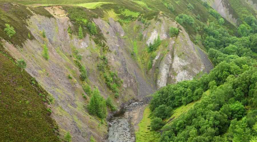
- the physical basis for our varied landscapes
- a vital component of our cultural and built heritage
- an important source of basic raw materials
Geodiversity thus affects all of our lives and delivers important economic, social and environmental benefits for the people of Scotland.
Geodiversity is also increasingly seen as crucial to the delivery of ecosystem services and so benefits Scotland’s people and environment.
Geodiversity of local, national and international importance
Planners and developers must ensure that new developments maintain or enhance the geodiversity of:
- Geological Conservation Review (GCR) sites – areas of nationally important geological and geomorphological features
- Local Geodiversity Sites – a type of Local Nature Conservation Site (LNCS)
GCR sites form the basis for notified earth science features in Sites of Special Scientific Interest (SSSIs). Planning and development must take account of these notified features in SSSIs.
For GCR sites within SSSIs, each GCR site boundary defines the area of a particular earth science interest feature within the SSSI. This can be helpful to know when assessing a development’s impact on the notified features of the SSSI.
Where a GCR site lies outside of any SSSI, it may be included in local planning policy in its own right – e.g. when it’s within a National Park.
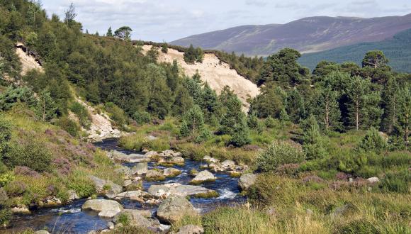
Additional considerations for active process features
Natural active processes such as active rivers and coasts are among our internationally, nationally and locally important geodiversity features. These may be affected by activities outside the area of the feature or protected site.
Planners and developers must also bear in mind that intervention at one point in a river or coast system can have an adverse knock-on effect on another point in the system. For example, installing bank protection for a footbridge on the outside bend of a river may lead to increased erosion of the opposite bank just downstream. This is because energy previously dissipated by erosion near the footbridge is instead reflected onto the opposite bank.
Active coasts and rivers may also provide important functions, like natural flood management, and habitats for species of commercial and conservation value. Developers should work with natural processes as far as possible, and consider the ecosystem services they provide when planning new developments.
Find out about managing active landforms.
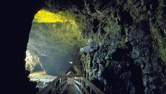
Access to geodiversity for education, research and public enjoyment
Providing long-term, safe access to geodiversity sites of interest for education and enjoyment is also important.
Developers should:
- make it easy to access geoheritage features – including temporary exposures
- enable access to records and samples as part of local and national geological record keeping
Planners should ensure that due consideration, management and enhancement of geodiversity are integral to development plans. It’s important to enable safe access to rock faces and other sites of interest once work is complete. This can be made a planning condition where appropriate.
Planners should also encourage developers to:
- allow access to temporary exposures to record and sample
- contribute borehole and other factual data to the British Geological Survey
Local geodiversity action plans
Planners and councillors have an important opportunity to ensure the protection of our geodiversity when preparing development plans and assessing applications for planning permission. Preparing a local geodiversity action plan will help with this.
Company geodiversity plans
Developing company geodiversity action plans may help to achieve appropriate actions to maintain and enhance geodiversity.
Guidance
- Standing advice and guidance for forestry and woodland planning - Geological Conservation Review Sites and Earth Science SSSIs.
- Geological conservation: a guide to good practice is the best available guide to good practice with respect to developments affecting geological and geomorphological features.
Though produced by English Nature (now Natural England), it is relevant to Scotland and includes Scottish examples.
Last updated: