Guidance for planners and policy developers
Strategic planners and policy developers must take a holistic rather than piecemeal approach to implementing habitat networks.
Strategic overview
References to habitat networks in policy and legislation show clear support for the concept. But more support and promotion at a strategic level are likely to be needed for networks to develop efficiently.
Land managers may be willing and able to make the necessary changes on their land, but the areas involved will often be relatively small in size. Land management changes may be needed on a larger scale for a network to be wholly effective. This is where strategic planning input comes in.
Prioritise species and habitats
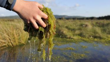
Begin by working out which habitats and/or species need to be protected and enhanced. Not all habitat networks will function effectively for all species.
The Habitats Directive focuses on ensuring the ecological coherence of Natura 2000 sites may give you an idea of likely priorities in certain areas. Local Biodiversity Action Plans will highlight other species and habitats of concern.
Prioritise socio-economic benefits
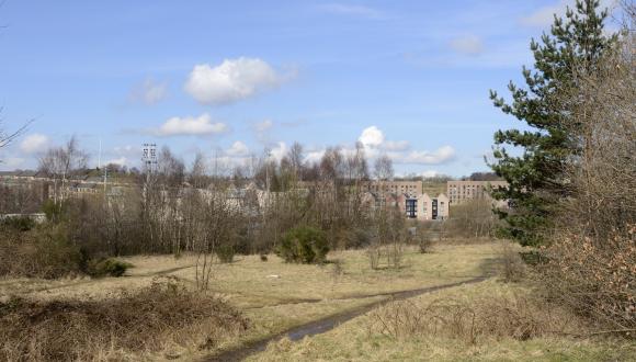
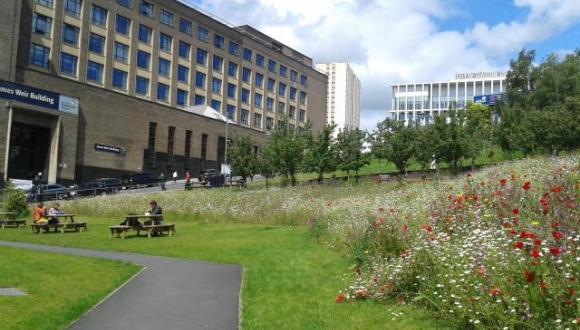
Consider whether you wish to put in place a network that delivers more than habitat benefits alone. A green network can be used to meet environmental and other priorities, e.g. provision of recreation opportunities or greenspace.
Data and modelling
You may want to engage an expert to model a proposed network. Computer modelling is only as good as the baseline data it uses, though. So be sure to use accurate and robust data relating to your local environment.
It’s vital to have a good land cover map derived from recent data sets and at a suitable resolution (e.g. 25m, but ideally 10m).
Data sets most often used in habitat network models include:
- Land Cover Scotland (LCS) 1988
- National Vegetation Classification
- Designated sites inventory
- Phase 1 Habitat Classification
- Native Woodland Survey of Scotland
- EUNIS Land Cover Scotland
- information from your local biological records centre
The exact type of data you’ll need, and model it could produce, will depend on the kind of network you wish to create. The more a network is to deliver, the more data – and time – you’re likely to need to develop it.
For example, for a green network, you’ll also need data on:
- core path plans
- vacant and derelict land
- existing greenspace
Towards implementation
Maps produced by the modelling will tell you where additional habitat must be created or where land management could be changed. To put the network in place will involve getting local land managers, planning authorities and others to use the maps to target actions.
You may be able to help with this. For example, policy developers can offer financial incentives via schemes like the Scottish Rural Development Programme. And planners can provide for greenspace in new developments. View our modelling case studies for more inspiration.
You can also help to avoid further habitat fragmentation in future. Strategic Environmental Assessment of your plans, programmes and strategies should flag up their likely impacts on biodiversity – including habitat connectivity. You can then work to safeguard and enhance existing networks wherever possible.
Last updated: