Canal and North Gateway
Transforming the canal corridor between Firhill and Port Dundas.

Grantee: Glasgow City Council
What are we going to do?
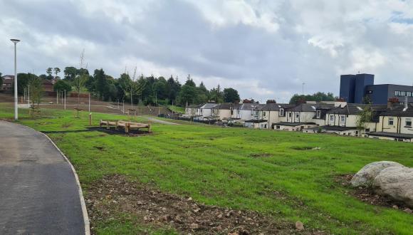
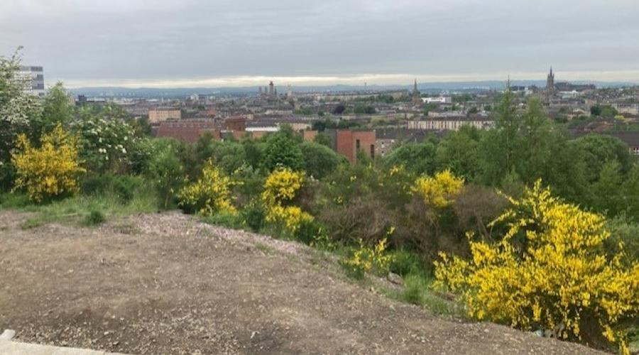
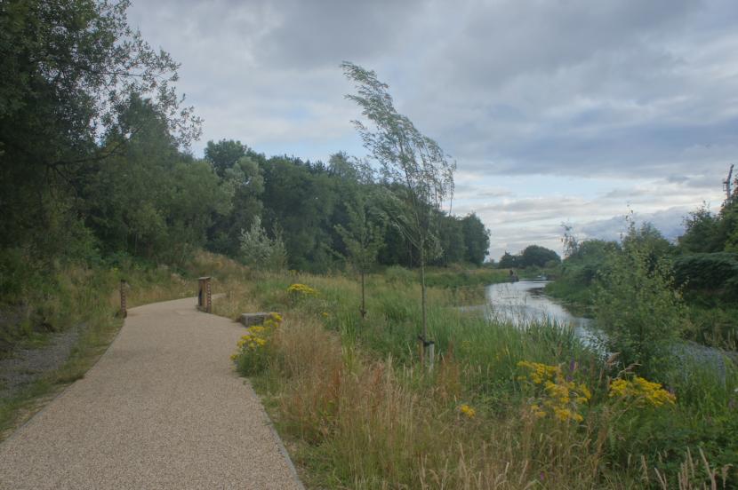
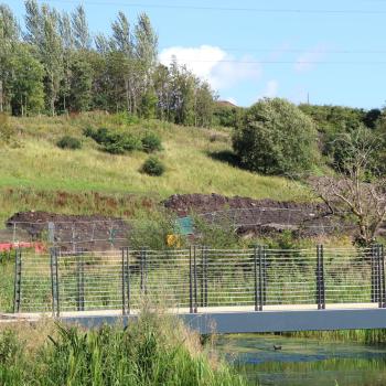
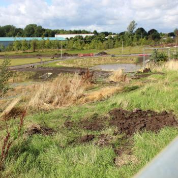
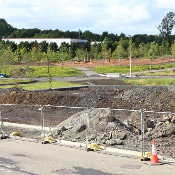
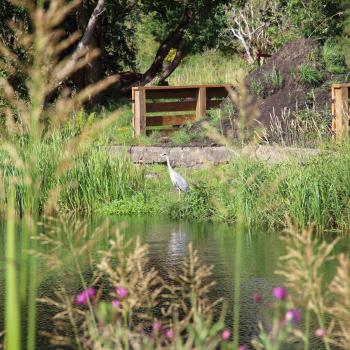
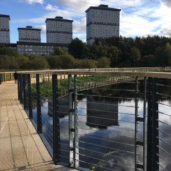
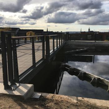
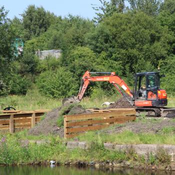
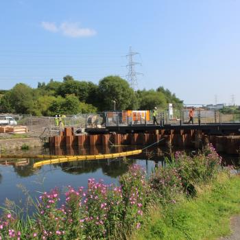
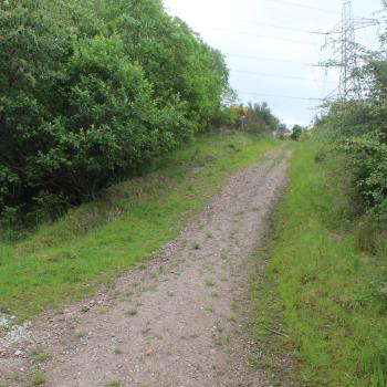
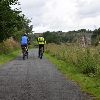
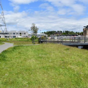
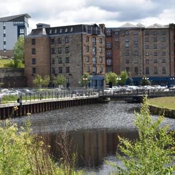
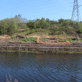
The project has two parts along the canal corridor between Firhill and Port Dundas. The Clay Pits Local Nature Reserve (LNR) project will change a 10ha derelict site into a Local Nature Reserve with a barrier free path and boardwalk network, mountain bike trail, disabled access fishing pegs, re-designed gateway entrances, viewpoints, and a feature canal pedestrian bridge linking Maryhill and Woodside communities with the Clay Pits and linking Hamiltonhill and Possilpark with Woodside and Maryhill. The other part of the project provides the surface water drainage solution for the regeneration of key vacant and derelict sites including Sighthill, Hamiltonhill and Cowlairs through dynamically managing the water level in the canal to provide flood storage. This is an exemplar project where blue-green infrastructure underpins regeneration.
Where did the idea for the project come from?
Friends of Possilpark Greenspace was established in December 2008 by local people with the aim of tackling substantial blight of vacant and derelict sites in the area. A Place-making workshop was held in 2011 at which local residents expressed an overwhelming desire to have a 'wild park' in this part of north Glasgow focused around the former Claypits area.
How communities have helped us develop our ideas?
The project partners held a charrette in 2015 which was a result of increased interest in the canal-side area and the claypits. The charrette was very successful and since then the partners have been working behind the scene to try and bring a realistic project proposal and funding strategy forward. In 2014 a different charette at Port Dundas highlighted the support for green and blue infrastructure to play a key role in the regeneration of the area and to connect a Sustainable Drainage System to the canal.
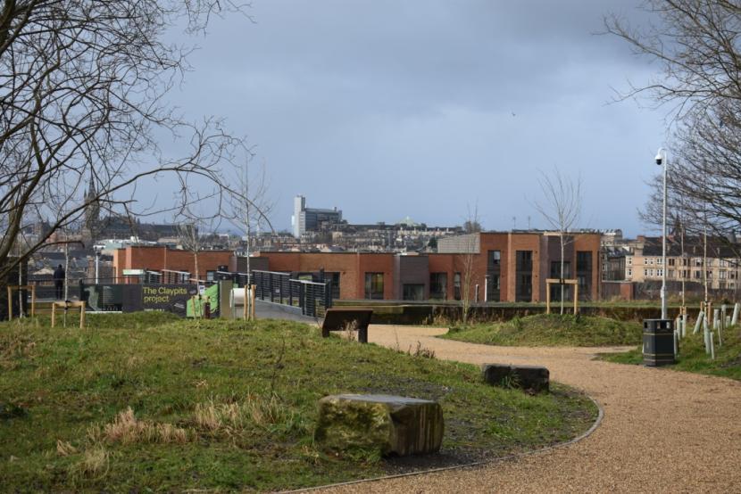
Claypits Local Nature Reserve
Click for a full description
The Claypits LNR is an important part of Scottish Canals strategy of revitalising the Scottish canal network. North Glasgow has some of the worst SIMD statistics in Scotland and beyond.
How our project fits into the bigger picture
The Claypits LNR is an important part of Scottish Canals strategy of revitalising the Scottish canal network. North Glasgow has some of the worst SIMD statistics in Scotland and beyond.
The NGIWMS is an exemplar blue-green infrastructure project that is at the international cutting edge of how to manage surface water and flood risk within the urban environment. The primary innovation is the strategy to dynamically manage the level of water both within the canal spine but also within each WMA, based on the concept of lowering the water level in advance of a severe storms based on predictive weather forecasting. This has the significant advantage of allowing water to be retained within SuDS features during normal weather conditions as the volume occupied by the water can be used for flood storage when the water level if lowered. This greater presence of surface water adds to place making and urban cooling compared to more traditional SuDS where flood storage areas require to remain dry during normal conditions.
The green and blue infrastructure in this project will fit into the Metropolitan Glasgow Strategic Drainage Partnership. This project’s ‘sister’ project at Greater Easterhouse is also part of the Strategic Drainage Partnership.
How will the project improve the local area?
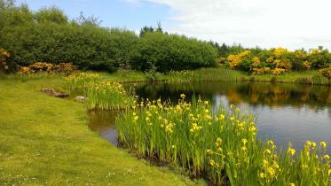
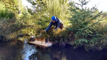
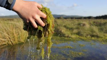
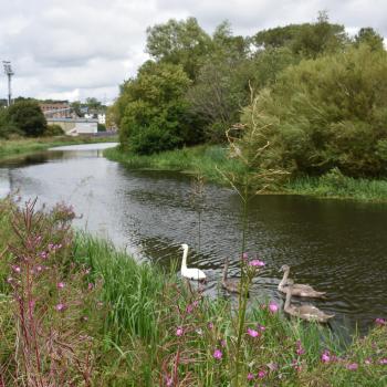
The NGIWMS significantly improves biodiversity through the creation of new and varied habitats, primarily associated with blue-green infrastructure fingers that will extend from the canal corridor to introduce surface water into the heart of regeneration sites. The fingers will form a linked habitat network and wetland margins along which flora and fauna can move, helping extend the canal corridor link between the rural environment and the heart of the city. This ecosystem service will mitigate the predicted increase in rainfall and intensity associated with climate change. The diversion of surface water away from the combined sewer network will also help regulate water quality by reducing the frequency and magnitude of combined sewer overflows into rivers and watercourses during heavy rain.
Claypits Local Nature Reserve
Click for a full description
The NGIWMS significantly improves biodiversity through the creation of new and varied habitats, primarily associated with blue-green infrastructure fingers that will extend from the canal corridor to introduce surface water into the heart of regeneration sites.
The proposal will bring a significant part of inner city Glasgow into a management regime to ensure users of the area use the LNR appropriately. At present the site suffers from fly-tipping and anti-social activities. Increasing activities and management of the space will make the area safer for users and through habitat management will enable wildlife and ecology to thrive.
These initiatives will bolster efforts aimed at redeveloping parts of inner-north Glasgow and relieve pressure on greenfield sites.
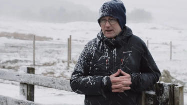
Robert Alston, Claypits Management Committee discussing the Green Infrastructure project at the Claypits LNR, Glasgow
Duration
01:15
Colin Watson talks about the Green Infrastructure project at Claypits LNR in Glasgow
Duration
01:36
Duration
01:58
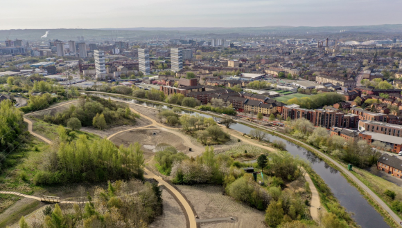
Sighthill Update Drone Footage (August 2020)


Contact
Green Infrastructure
Last updated: